maps
articles on maps
This is the google maps site that explains all of the benefits and avenues to use google maps in the classroom. Google offers professional development even in using the google maps. This is really great that they are tailoring and encouraging teachers to use these tools.
http://maps.google.com/help/maps/education/
This website talks about the benefits and a few drawbacks of using google maps in the classroom. One of the benefits they listed specifically was the Historical Voyages and Events area. There are civil war battle maps and other important historical events. This is awesome and I can not wait to use this.
http://teachinghistory.org/digital-classroom/tech-for-teachers/24658
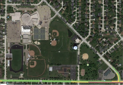
google Maps street views
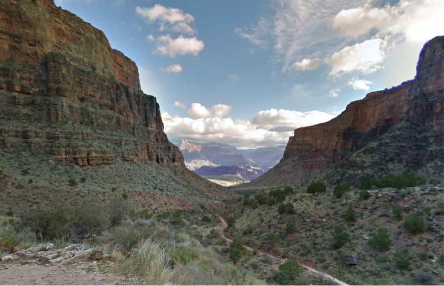
google map of the grand canyon


Student use in the classroom
Students could use these Google mapping tools before, during and after a lesson. Personally being a visual learner I love this. Part of the reason I enjoyed my Social Studies books over my upper level literature books was due to the visuals. Students can go to a location virtually to better understand what that place is like or what geographical things are near it, for example rivers or mountains or even highways or airports. Students could incorporate these visuals in reports and projects or even to help describe a location in a writing assignment. We could use these maps to compare and contrast the changes a place has undertaken throughout history by comparing the modern visual with an older map. These visuals have so much potential to improve learning social studies in all areas.
